About Unreal Hawaii
Unreal Hawaii is a collection of stories and visuals of Hawaii. Learn more ›
Popular Stories


Resources
Na Ala Hele - Hawaii Trail Systems
Official hiking trail system of Hawaii.
Hawaii State Parks
Official website for Hawaii State Parks.
Hawaii Camping Permit Reservation System
Request permits online.
Category: Medium
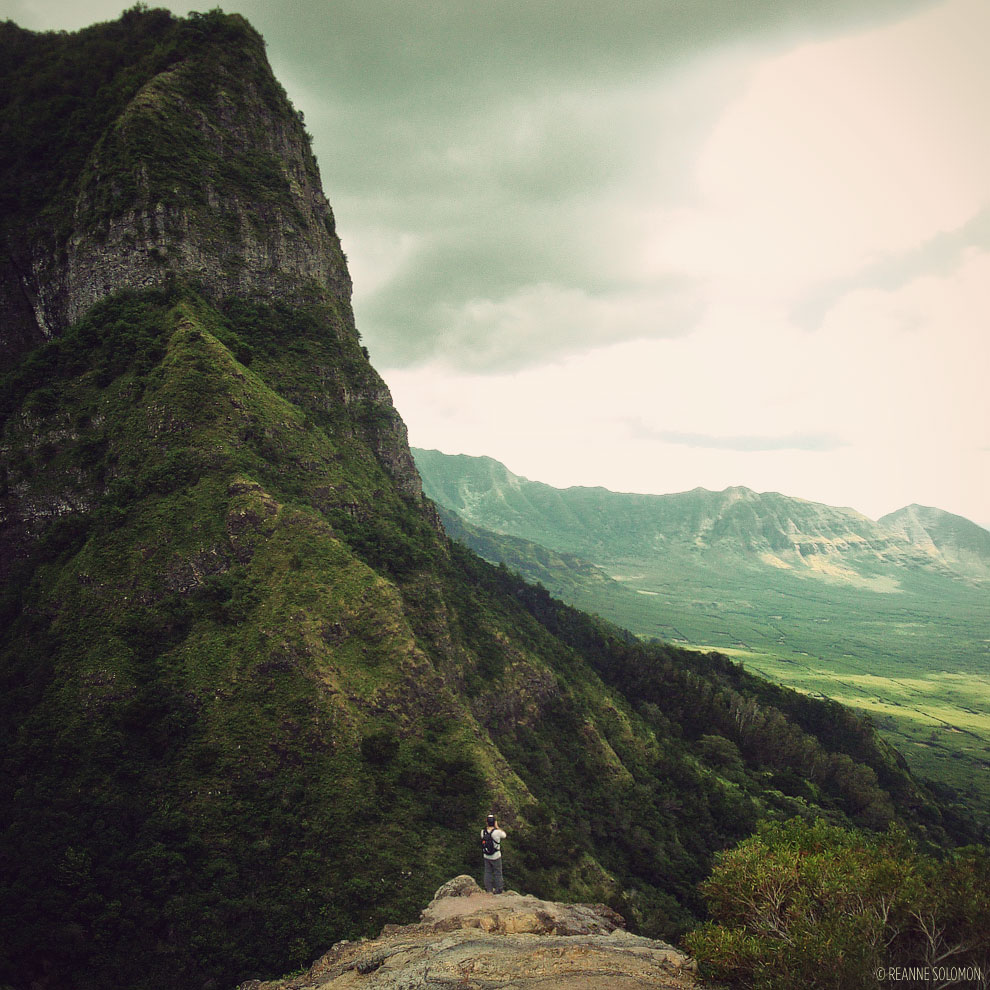
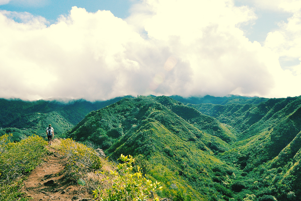
Like many of the best hikes in Hawaii, access to this trail is not easy, but those that get to hike it are rewarded with stunning views from west Oahu. This trail offers some thrilling ridge hiking as well. Oahu, Hawaii. *NOTE: Access to this trail is very limited.*
FULL STORY ›
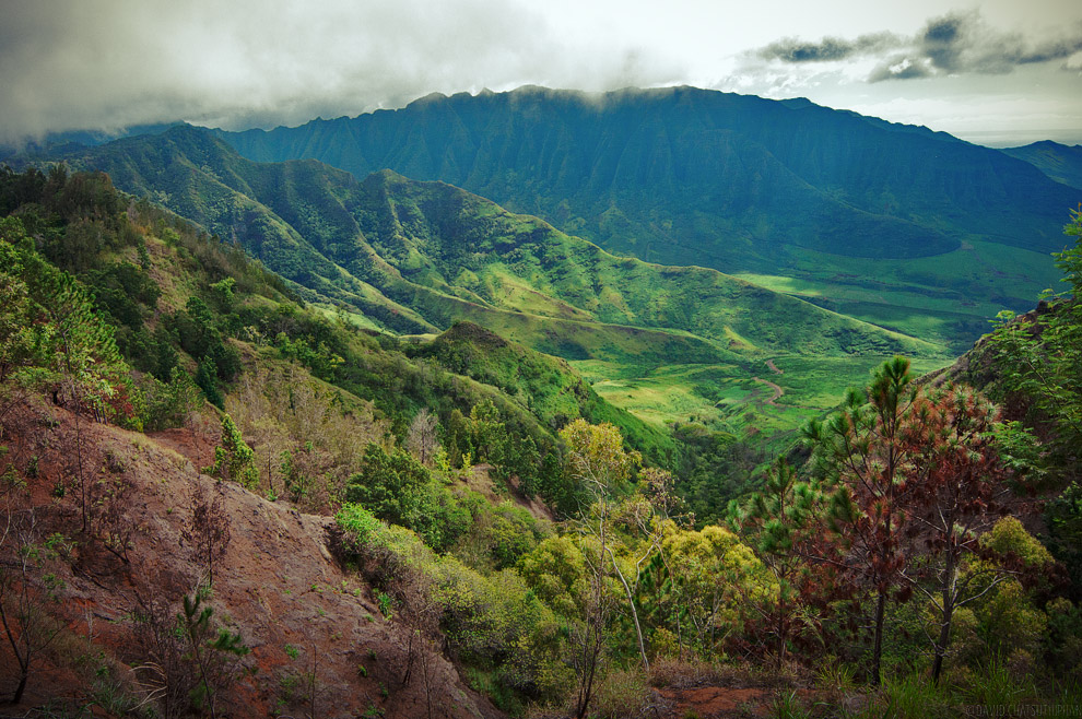
A great hike on the North Shore of Oahu. This trail is a series of switch backs that lead up to a network of dirt access roads that can lead all over the place. Oahu, Hawaii.
FULL STORY ›
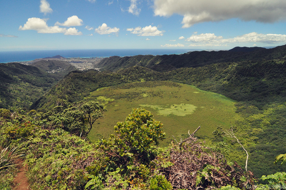
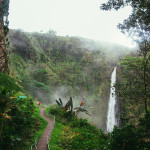
One of the best hikes in Honolulu. This hike takes you to three waterfalls and then up to the top of this hidden crater. Oahu, Hawaii.
FULL STORY ›
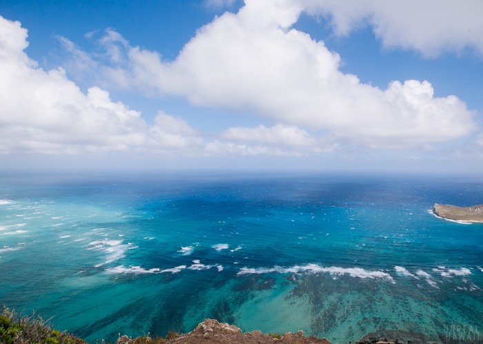
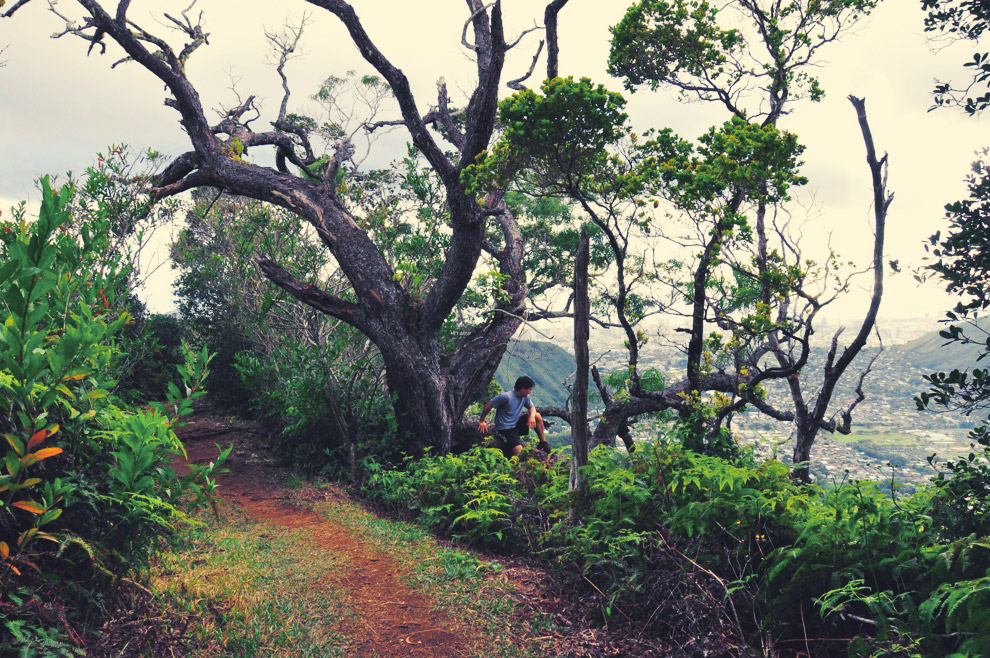
This is a nice long hike so do it when you're in the mood for something challenging. Hike on a clear day so to get the reward of seeing the incredible view at the end. Oahu, Hawaii.
FULL STORY ›
Check the weather before attempting this one. On a clear day, the view at the summit is incredible. This is a fun trail starts at the stop of St. Louis Heights. Oahu, Hawaii.
FULL STORY ›