This trail starts at the base of the Waianae Range on Schofield Barracks.

Coming up the ridge, paper bark trees will indicate where to make your ascent.

Certain times of the year, the views are green and lush.

While crossing a huge notch, be sure to look back and see this perfectly framed view.
We went up a ridge that has two notches and came back down the same way. The hike is relatively short (at around 4 miles round trip) and offers beautiful views of the entire island.
UPDATE 1/28/2014: I’ve heard that this trail is now considered off-limits. Please be aware that access to the trail is very difficult if not impossible.Â

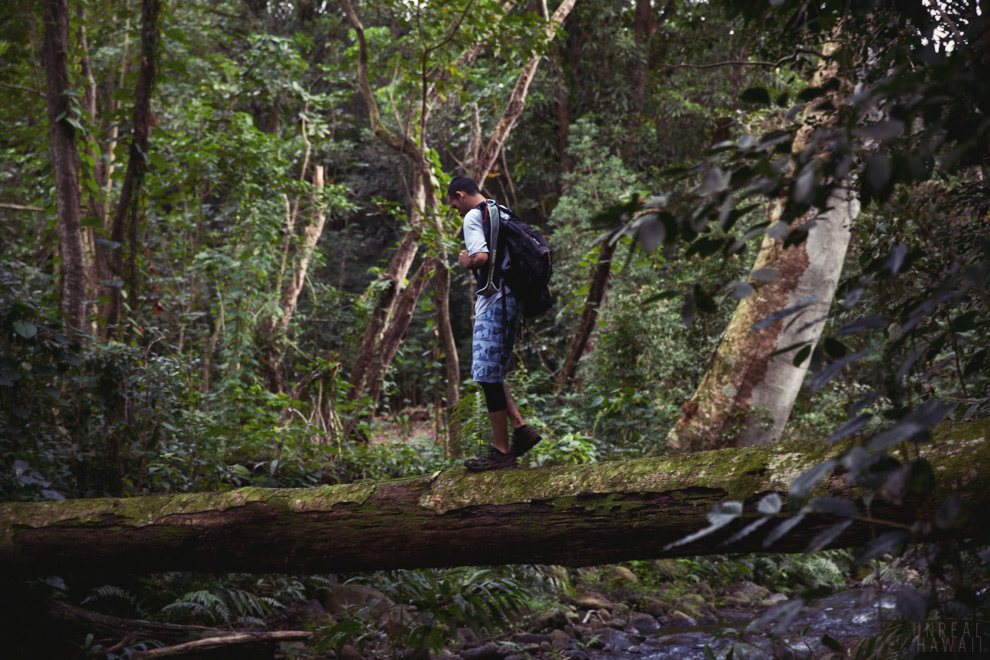
This is the trailhead. Enter the forest here and follow the trail.

The trail will take you to a series of wooden steps.
You get elevation fast on this trail.

You’ll know you’re on the right path when you see Kolekole Pass Rock. (I’ve already walked past the rock and am looking back at it in the picture above.)

Follow the trail further and you’ll come to a clearing with this tower. Justin (pictured above) tells me that this is a cell phone tower. He’s actually had to climb to the top for work.

Pass the tower and you’ll come to this fork. Go left.

At the next fork, go left again. (I took this photo on our return trip back down the mountain.)

You’ll eventually pop out of the woods to this clearing. Cory points at one of the notches in the ridge we’ll have to negotiate.

If you walk to the edge of this meadow here you’ll be treated to some superb views.

Walk past the field and follow the trail back into the woods.

And soon you’ll be up on the fantastic ridgeline.

Keep and eye out for this spot. The trail will switch back, but we found it easier to shortcut up the slope here.

You want to get to this ridgeline of paper bark trees.

When you come out of the trees you’ll be treated to views of central Oahu and Waianae.

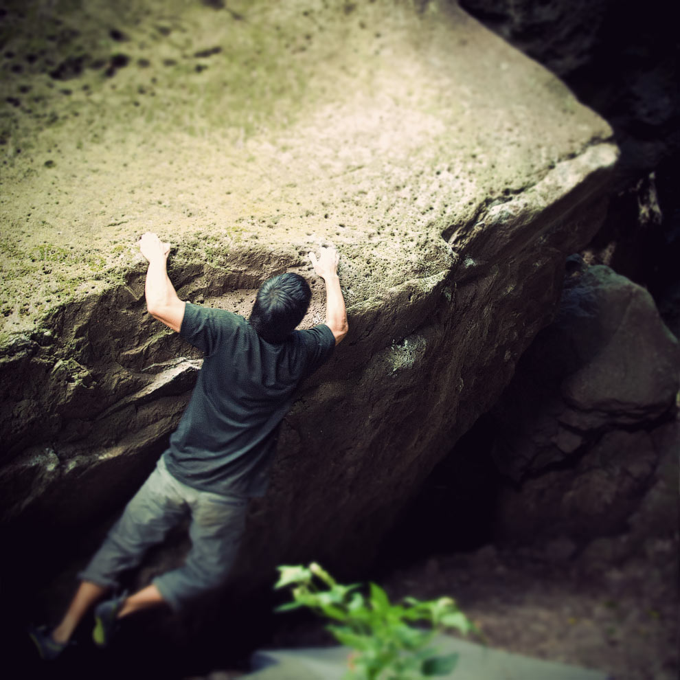
This is the first notch. The dirt trail leads you up the left side of it. Those that are more daring, can scramble up the middle over the rocks.

I wanted to do this hike to see some views of the Kolekole Pass. It’s a saddle in the Waianae Range that allows the military to drive straight from Central Oahu to the West Side.

At the top of the first notch, I was treated to a nice view of the pass.

The second notch follows directly after.

All that notch crossing gets you thirsty.

And now, it’s on to the peak of Pu’u Hapapa.

Goat fences were installed closer to the top. Once you see them, you’ll know you’re almost there.

You get some super nice views from up here. From this peak, you can see Diamond Head, Haleiwa, Waianae and all of Central Oahu. Pretty neat.

After hanging out at the summit for 45 minutes or so we made out way back down. You can make this trail a loop by taking a different ridge down, but we opted to go down the same way we came up.

This of course meant we had to cross those notches again. (It’s always easier going up than going down.) The second notch wasn’t too bad.

But this first notch … this one was a little hairy.

Now you could, and probably should go down the dirt trail toward the left side of this photo. But, we didn’t. Slipping here would’ve sucked.

As you near the bottom of this ridge there’s a fork. The right for would’ve taken us back to that paper bark tree ridge. To mix things up we went left.

We ended coming down this slope.

That slope met up with the main trail which then led us back to that cell tower and back to the cars.

And since we were already close to the North Shore, we picked up some food and hit the beach.
Tips:
- Give yourself four hours for this hike.
- Remember to make sure you have your insurance card, registration and an up to date safety check sticker on your car.
- Two liters of water should be fine, unless it’s really hot.
- Waianae Range hikes tend to be more tolerable in cooler months.
See also:
- Kaleo’s Island Trails write ups here, here and here.
- Hapapa – Steep Hike, Great Views on AroundHawaii.com.
- To see what a more challenging Waianae Range hike looks like, see: Pu’u Kawiwi – No Name – Tiki Ridge