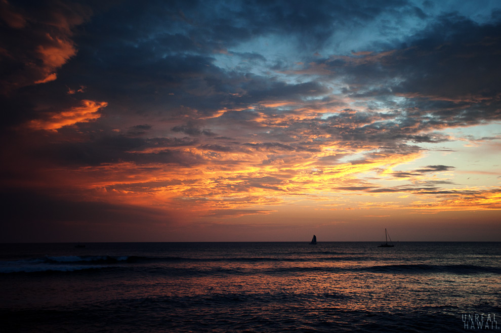
View of Makua Valley.
My buns currently feel as though they were forged in steel. Last weekend, Reanne and I hiked a neat trail that starts at Dillingham Airfield (where you can go skydiving) on the North Shore of Hawaii. This trail isn’t difficult, nor is it very steep, but it’s lengthy and has a steady incline grade. For almost the entire hike you’re pushing yourself uphill and feeling the burn. When you get to the top you’re awarded with a view of Makua Valley, a very remote part of Oahu.
The hike we did started with the short Kealia Trail and continued on a series of access roads that lead up to the lookout point. It took about 4 hours.
 #2
#2
You start at the Dillingham Airfield parking lot for glider pilots. The Kealia Trail takes you to the top of this hill.
 #3
#3
As you make your way to the trailhead you’ll see some remnants of old cars, planes and boats.
 #4
#4
Here’s the trailhead. The Kealia Trail is part of the Na Ala Hele Trail and Access System so it’s very well maintained.
 #5
#5
I guess this is what they mean by “falling rocks.” You see these boulders all over the trail that look like they’re about to break.
 #6
#6
The Kealia Trail has 19 switchbacks that take you up the cliffside.
 #7
#7
This picnic table marks the end of the Kealia Trail.
 #8
#8
From here on you’ll be hiking on the Kuaokala Access Road. The dirt road made for easy hiking which was nice on my knees. Once you’re on the access road follow these very helpful directions from the Honolulu Hiking Examiner:
“At the first junction turn right, staying on the main road. At the next junction turn left, still on the main road. When you reach a signed T-junction, turn left, and then slightly right at a signed four-way junction.”
 #9
#9
You’ll be hiking uphill for a couple miles so make sure you have plenty of water.
 #10
#10
Still going up.
 #11
#11
Eventually you reach this awesome lookout.
 #12
#12
From the lookout you can keep hiking to the left or right. If I had more energy and water that day I think it would have been fun to explore each routes.
 #13
#13
We explored a little to the right which took us on a ridge that lead towards the ocean.
 #14
#14
We stopped at this opening and turned around. The trail continued and it looked like it might even be possible to follow it all the way down the ridge and back to Farrington Hwy.
 #15
#15
We made our way back down the same way we came.
 #16
#16
Thankfully it’s almost all downhill.
 #17
#17
A golf cart would have been nice on these red clay access roads.
 #18
#18
Almost back to the Kealia Trail now.
 #19
#19
As you descend those 19 switchbacks you’re seeing this amazing view of Mokule’ia and Haleiwa.
 #20
#20
And here we are, back at the airport parking lot.
 #21
#21
Hungry, we went over to the food truck lot in Haleiwa for some Thai food and garlic shrimp.
 #22
#22
And now, back to town.
See also:
- Kealia Trail on Examiner.com
- Kealia Trail on Na A Hele – The official Hawaii trail website.